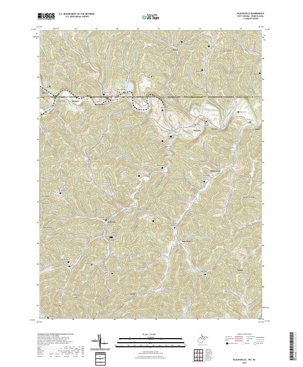
2023 Map of Blacksville
USGS Topo · Published 2023About this map
The Pennsylvania-West Virginia state line bisects this landscape where the hills of Greene County and Monongalia County meet. Blacksville serves as a central hub, situated near the confluence of Roberts Run and Dunkard Creek. The topography is defined by narrow valleys and high ridges like Minnie Knob and Catherines Knob, with a settlement pattern that follows the winding watercourses.
Find a feature on this map
134 named features on this map. Tap any name to fly to it.
Don’t see what you’re looking for? This feature index may not catch every label — zoom into the map to look around manually.
Map Details
Editions of this 2023 Blacksville Map
This is the sole edition of this map. No revisions or reprints were ever made.
Other maps of this area

1901 · Waynesburg
USGS Topo · 1:62,500

1904 · Blacksville
USGS Topo · 1:62,500

1904 · Waynesburg
USGS Topo · 1:62,500

1905 · Mannington
USGS Topo · 1:62,500

1905 · Rogersville
USGS Topo · 1:62,500

1923 · Blacksville
USGS Topo · 1:62,500

1923 · Mannington
USGS Topo · 1:62,500

1925 · Blacksville
USGS Topo · 1:62,500

1926 · Mannington
USGS Topo · 1:62,500

1949 · Clarksburg
USGS Topo · 1:250,000