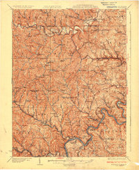
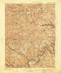
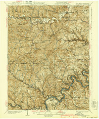
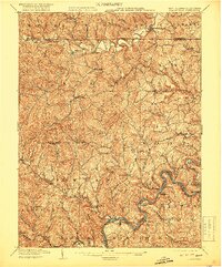
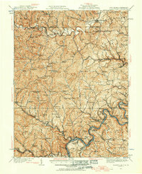
1925 Map of Blacksville
USGS Topo · Published 1925About this map
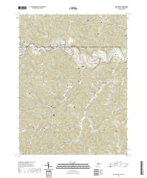
The Monongahela River carves a deep path through the northern West Virginia hills, anchoring a landscape defined by coal mining and river transport during the mid-1920s. Centered on the border of Monongalia and Marion counties, this survey highlights the industrial infrastructure of the era, from the locks on the river, such as Lock No 14 and Lock No 15, to the operations at Montana Mines. The Baltimore and Ohio RR and Monongahela Railway follow the river and creek valleys, connecting mining towns like Grant Town, Rivesville, and Barrackville to wider markets.
Find a feature on this map
164 named features on this map. Tap any name to fly to it.
Don’t see what you’re looking for? This feature index may not catch every label — zoom into the map to look around manually.
Map Details
Editions of this 1925 Blacksville Map
4 editions found
Historical Maps of Fairmont Through Time
9 maps found
1904 Blacksville
Monongalia County, WV
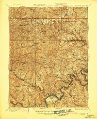
1923 Blacksville
Monongalia County, WV
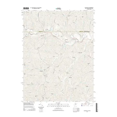
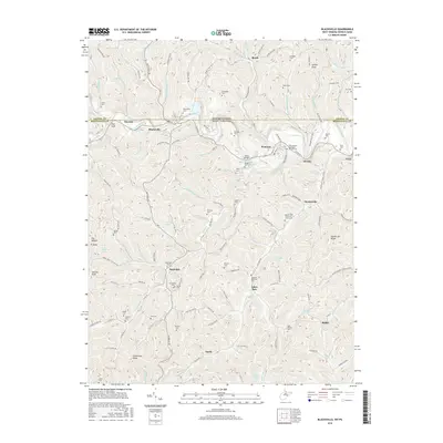
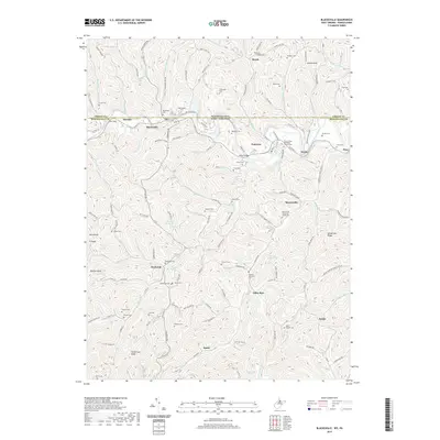
1925 Blacksville
Monongalia County, WV
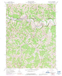
1958 Blacksville
Monongalia County, WV
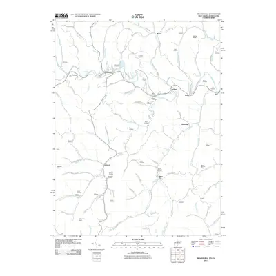
2011 Blacksville
Monongalia County, WV
2014 Blacksville
Monongalia County, WV
2016 Blacksville
Monongalia County, WV
2019 Blacksville
Monongalia County, WV
2023 Blacksville
Monongalia County, WV