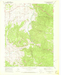
1969 Map of Blacktail Mountain
USGS Topo · Published 1972About this map
Pleasant Valley serves as the central corridor of this Colorado high-country study, where the Yampa River meanders through open bottomlands before entering more constricted terrain. To the east, the steep, timbered slopes of the Routt National Forest dominate the landscape, carved by a network of drainages including Harrison Creek and Green Creek. The presence of the Suttle Ditch in the northern reaches indicates early water management efforts to support the region's agricultural or ranching needs.
Find a feature on this map
21 named features on this map. Tap any name to fly to it.
Don’t see what you’re looking for? This feature index may not catch every label — zoom into the map to look around manually.
Map Details
Editions of this 1969 Blacktail Mountain Map
2 editions found
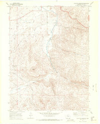
Other maps of this area

1954 · Craig
USGS Topo · 1:250,000

1956 · Storm Mountain
USGS Topo · 1:24,000

1956 · Walton Peak
USGS Topo · 1:24,000

1956 · Gore Pass
USGS Topo · 1:62,500

1956 · Rabbit Ears Peak
USGS Topo · 1:62,500

1957 · Craig
USGS Topo · 1:250,000

1958 · Craig
USGS Topo · 1:250,000

1960 · Craig
USGS Topo · 1:250,000

1962 · Craig
USGS Topo · 1:250,000

1964 · Craig
USGS Topo · 1:250,000