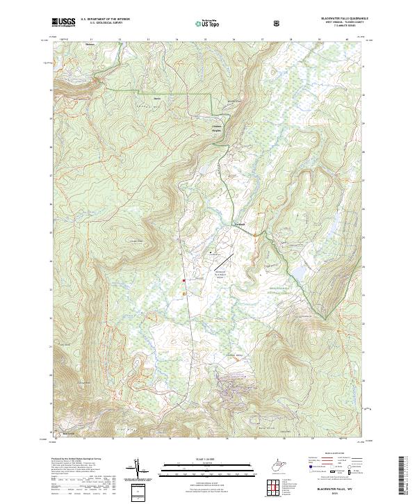
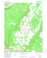
2023 Map of Blackwater Falls
USGS Topo · Published 2023This historical map portrays the area of Blackwater Falls in 2023, primarily covering Tucker County. Featuring a scale of 1:24000, this map provides a highly detailed snapshot of the terrain, roads, buildings, counties, and historical landmarks in the Blackwater Falls region at the time. Published in 2023, it is the sole known edition of this map.
Find a feature on this map
103 named features on this map. Tap any name to fly to it.
Don’t see what you’re looking for? This feature index may not catch every label — zoom into the map to look around manually.
Map Details
Editions of this 2023 Blackwater Falls Map
This is the sole edition of this map. No revisions or reprints were ever made.
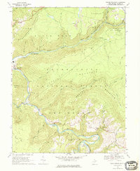
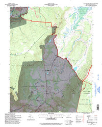
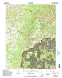
Historical Maps of Thomas Through Time
15 maps found
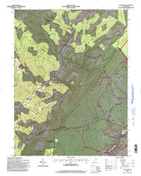
1959 Colebank
Tucker County, WV
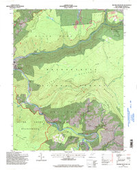
1959 Lead Mine
Tucker County, WV
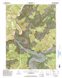
1959 Saint George
Tucker County, WV
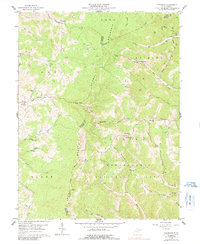
1968 Blackwater Falls
Tucker County, WV
1968 Mozark Mountain
Tucker County, WV
1995 Blackwater Falls
Tucker County, WV
1995 Colebank
Tucker County, WV
1995 Lead Mine
Tucker County, WV
1995 Mozark Mountain
Tucker County, WV
1995 Saint George
Tucker County, WV
2023 Blackwater Falls
Tucker County, WV
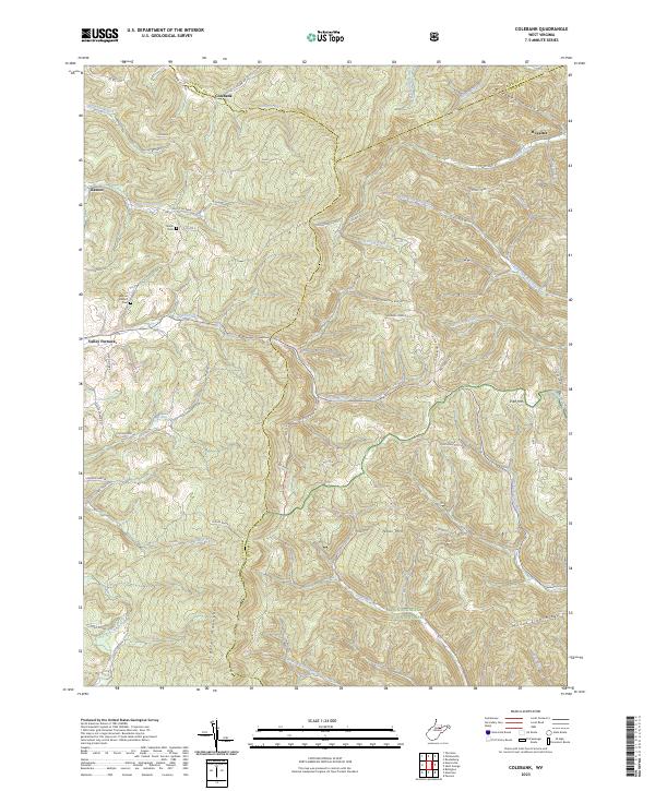
2023 Colebank
Tucker County, WV
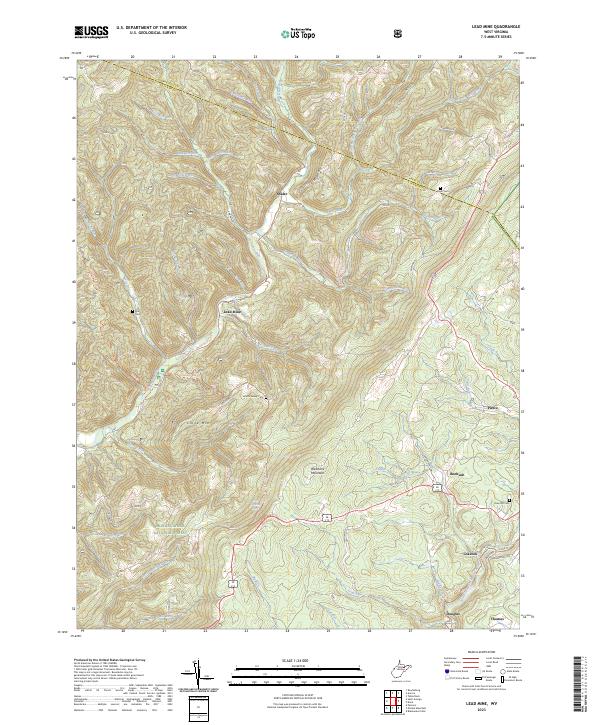
2023 Lead Mine
Tucker County, WV
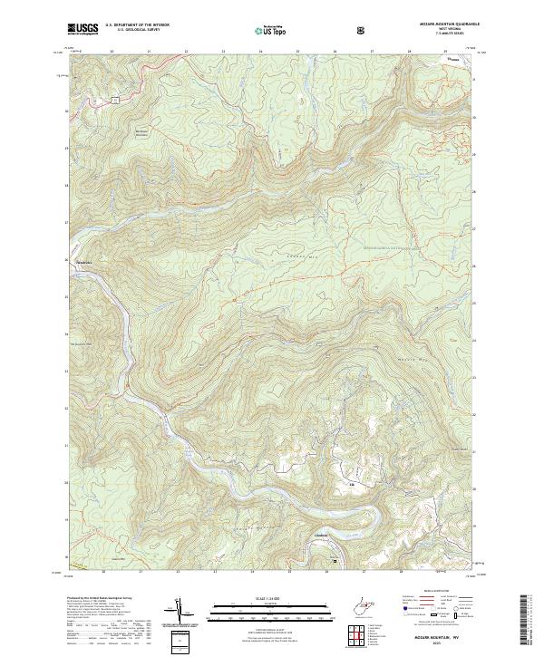
2023 Mozark Mountain
Tucker County, WV
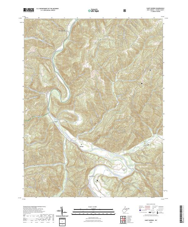
2023 Saint George
Tucker County, WV