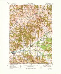
1927 Map of Blair
USGS Topo · Published 1927About this map
The Trempealeau River valley and surrounding coulees define this 1920s topography, where a dense network of country schools served a distributed rural population. Many of these schools bear the names of early settler families, such as Miskelhus School, Schermerhorn School, and Finn School, providing essential locations for genealogical research. The rail infrastructure of the era is prominent, with the Green Bay and Western line connecting Blair, Taylor, and Hixton, while the Chicago St Paul Minneapolis and Omaha runs through the northern reaches near Sechlerville. Along the winding Pigeon Creek, smaller hubs like Pigeon Falls and York served the surrounding townships of Hale, Northfield, and Pigeon. The map illustrates a landscape shaped by glacial drift, where roads follow the low-lying valleys and coulees rather than a strict grid, highlighting the interplay between the terrain and early 20th-century transportation patterns.
Find a feature on this map
53 named features on this map. Tap any name to fly to it.
Don’t see what you’re looking for? This feature index may not catch every label — zoom into the map to look around manually.
Map Details
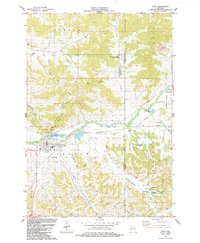
Editions of this 1927 Blair Map
2 editions found

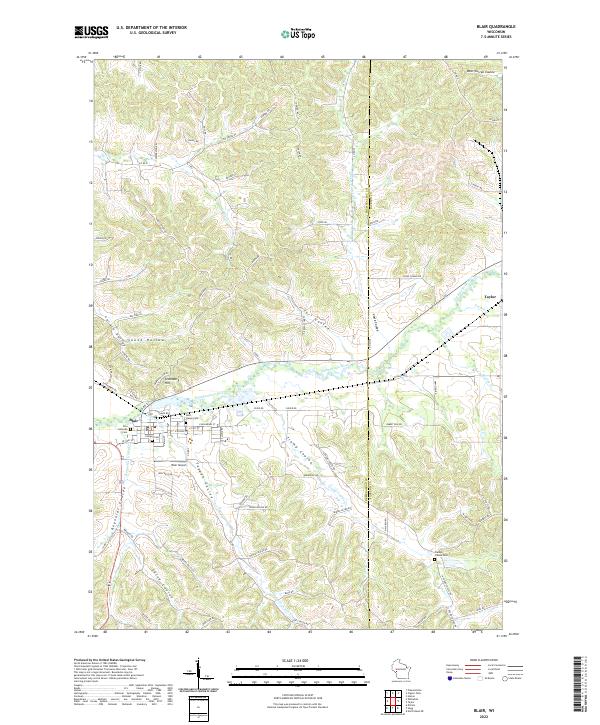
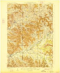
Historical Maps of Blair Through Time
4 maps found