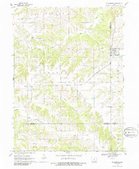
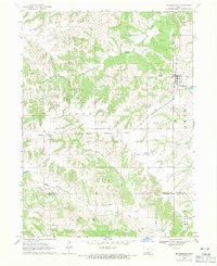
1968 Map of Blakesburg
USGS Topo · Published 1986About this map
Blakesburg serves as the primary hub of this 1968 landscape, situated where several roads converge in the eastern portion of the quadrangle. The area's rural character is defined by a network of drainage systems, including Soap Creek and South Avery Creek, which carve through the townships of Mantua, Urbana, and Union. The Chicago Milwaukee St Paul and Pacific railroad cuts diagonally across the terrain, providing a historic transit link for the small settlement of Brompton.
Find a feature on this map
23 named features on this map. Tap any name to fly to it.
Don’t see what you’re looking for? This feature index may not catch every label — zoom into the map to look around manually.
Map Details
Editions of this 1968 Blakesburg Map
2 editions found
Other maps of this area

1929 · Albia
USGS Topo · 1:62,500

1939 · Mystic
USGS Topo · 1:62,500

1942 · Mystic
USGS Topo · 1:62,500

1954 · Centerville
USGS Topo · 1:250,000

1954 · Des Moines
USGS Topo · 1:250,000

1956 · Des Moines
USGS Topo · 1:250,000

1957 · Des Moines
USGS Topo · 1:250,000

1957 · Centerville
USGS Topo · 1:250,000

1958 · Centerville
USGS Topo · 1:250,000

1966 · Hiattsville
USGS Topo · 1:24,000