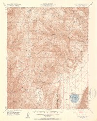
1951 Map of Blanco Mountain
USGS Topo · Published 1953About this map
White Mountains high-country topography and the industrial scars of early 20th-century prospecting define this 1951 survey. The landscape is dominated by steep drainages like Mill Canyon and Payson Canyon, where local extraction efforts are evidenced by the Mollie Gibson Mines, Grandview Mine, and Gray Eagle Mine. Isolated outposts of human activity appear in the form of the Naval Research Station and a Radio Relay Sta atop the ridges, while the Roberts Ranch represents a rare domestic anchor in the high altitude. To the southeast, the floor of Deep Springs Valley reveals the stark contrast of Deep Spring Lake and several artesian wells. This document captures the transition of the region from a purely mining-focused frontier to an area of scientific and communications infrastructure, all while maintaining its character as part of the Inyo National Forest.
Find a feature on this map
46 named features on this map. Tap any name to fly to it.
Don’t see what you’re looking for? This feature index may not catch every label — zoom into the map to look around manually.
Map Details
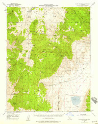
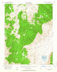
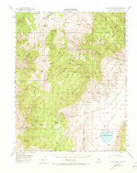
Editions of this 1951 Blanco Mountain Map
5 editions found

Other maps of this area

1898 · Silver Peak
USGS Topo · 1:125,000

1900 · Silver Peak
USGS Topo · 1:125,000

1908 · Lida
USGS Topo · 1:250,000

1913 · Bishop
USGS Topo · 1:125,000

1913 · Lida
USGS Topo · 1:250,000

1917 · White Mountain
USGS Topo · 1:125,000

1947 · Mariposa
USGS Topo · 1:250,000

1948 · Mariposa
USGS Topo · 1:250,000

1949 · Bishop
USGS Topo · 1:62,500

1950 · Big Pine
USGS Topo · 1:62,500