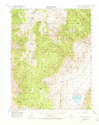
1951 Map of Blanco Mountain
USGS Topo · Published 1973About this map
Inyo National Forest dominates this high-altitude landscape, where deep canyons and peaks like Blanco Mtn and Bucks Peak define the terrain. The map captures a moment when resource extraction and remote research shared the mountainside, evidenced by the Naval Research Station near Campito Mtn and a string of active and named mining operations. High-elevation meadows such as Big Prospector Meadow and Dead Horse Meadow suggest the area's history as seasonal grazing land.
Find a feature on this map
46 named features on this map. Tap any name to fly to it.
Don’t see what you’re looking for? This feature index may not catch every label — zoom into the map to look around manually.
Map Details
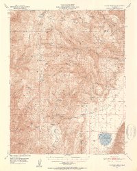
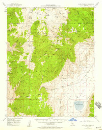
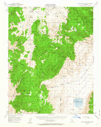
Editions of this 1951 Blanco Mountain Map
5 editions found

Other maps of this area

1898 · Silver Peak
USGS Topo · 1:125,000

1900 · Silver Peak
USGS Topo · 1:125,000

1908 · Lida
USGS Topo · 1:250,000

1913 · Bishop
USGS Topo · 1:125,000

1913 · Lida
USGS Topo · 1:250,000

1917 · White Mountain
USGS Topo · 1:125,000

1947 · Mariposa
USGS Topo · 1:250,000

1948 · Mariposa
USGS Topo · 1:250,000

1949 · Bishop
USGS Topo · 1:62,500

1950 · Big Pine
USGS Topo · 1:62,500