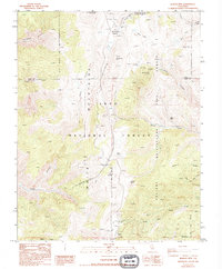
1987 Map of Blanco Mountain
USGS Topo · Published 1994About this map
Ancient Bristlecone Pine Forest dominates the high-altitude landscape of the White Mountains within the Inyo National Forest. This 1980s survey captures a region of significant scientific and geological interest, featuring the White Mountain Research Station Crooked Creek Laboratory at the northern end of the map. The terrain is defined by high peaks such as Blanco Mtn and Campito Mountain, with deep drainages including Silver Canyon and Wyman Creek cutting through the slopes. Evidence of high-country exploration and infrastructure appears in the form of multiple prospects, the Mexican Mine, and a wooden pole trans line traversing the difficult topography near Poleta Canyon. Public use is anchored by the Schulman Grove Picnic Area and numerous springs like Coldwater Spring, essential for any activity in this arid, elevated environment.
Find a feature on this map
35 named features on this map. Tap any name to fly to it.
Don’t see what you’re looking for? This feature index may not catch every label — zoom into the map to look around manually.
Map Details
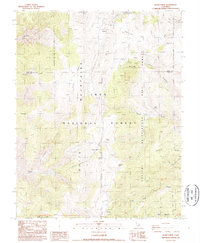
Editions of this 1987 Blanco Mountain Map
2 editions found
Other maps of this area

1913 · Bishop
USGS Topo · 1:125,000

1917 · White Mountain
USGS Topo · 1:125,000

1947 · Mariposa
USGS Topo · 1:250,000

1948 · Mariposa
USGS Topo · 1:250,000

1949 · Bishop
USGS Topo · 1:62,500

1951 · Bishop
USGS Topo · 1:62,500

1951 · Blanco Mountain
USGS Topo · 1:62,500

1957 · Mariposa
USGS Topo · 1:250,000

1962 · Mt. Barcroft
USGS Topo · 1:62,500

1962 · White Mtn. Peak
USGS Topo · 1:62,500