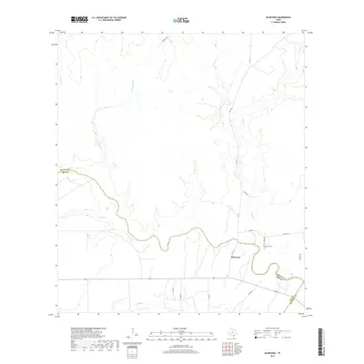
2019 Map of Blanconia
USGS Topo · Published 2019About this map
Blanconia serves as the central point of interest in this coastal plains landscape, situated near the winding course of Blanco Cr. The terrain is defined by a dense network of intermittent drainage systems, including Arroyocita Cr, Salt Cr, and Murphy Cr, which carve subtle relief into the Bee County countryside. This modern survey illustrates the rural infrastructure of the region, where farm-to-market roads like FM 2441 and FM 3410 connect isolated homesteads and agricultural tracts. For genealogists, the prominent placement of the McGuill Cemetery (also labeled as McGuill Cem) provides a specific focal point for local family history. The map also clearly delineates the administrative boundaries where Bee County meets both Goliad and Refugio counties, reflecting the enduring geopolitical lines of South Texas.
Find a feature on this map
22 named features on this map. Tap any name to fly to it.
Don’t see what you’re looking for? This feature index may not catch every label — zoom into the map to look around manually.
Map Details
Editions of this 2019 Blanconia Map
This is the sole edition of this map. No revisions or reprints were ever made.
Other maps of this area

1953 · Beeville
USGS Topo · 1:250,000

1954 · Skidmore
USGS Topo · 1:62,500

1954 · Refugio
USGS Topo · 1:62,500

1956 · Beeville
USGS Topo · 1:250,000

1960 · Beeville
USGS Topo · 1:250,000

1962 · Live Oak Lake
USGS Topo · 1:24,000

1962 · Melo
USGS Topo · 1:24,000

1963 · Berclair
USGS Topo · 1:24,000

1978 · Ryanville
USGS Topo · 1:24,000

1978 · Refugio SW
USGS Topo · 1:24,000