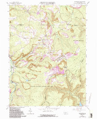
1963 Map of Blandburg
USGS Topo · Published 1994About this map
Industrial coal operations and steep Appalachian ridges define the landscape of the Blandburg area. The presence of numerous Strip Mine and Reclaimed Strip Mine locations across the terrain indicates a period of significant surface mining activity throughout the mid-20th century. Settlements such as Glasgow, Hollentown, and Frugality are situated along the valley floors, linked by a network of runs like Powell Run and Sandy Run, which flows into the Sandy Run Reservoir.
Find a feature on this map
45 named features on this map. Tap any name to fly to it.
Don’t see what you’re looking for? This feature index may not catch every label — zoom into the map to look around manually.
Map Details
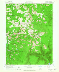
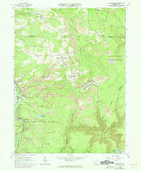
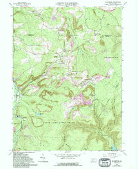
Editions of this 1963 Blandburg Map
4 editions found
Other maps of this area

1902 · Patton
USGS Topo · 1:62,500

1903 · Curwensville
USGS Topo · 1:62,500

1903 · Houtzdale
USGS Topo · 1:62,500

1904 · Patton
USGS Topo · 1:62,500

1905 · Houtzdale
USGS Topo · 1:62,500

1920 · Altoona
USGS Topo · 1:62,500

1922 · Altoona
USGS Topo · 1:62,500

1939 · Curwensville
USGS Topo · 1:62,500

1942 · Curwensville
USGS Topo · 1:62,500

1943 · Punxsutawney
USGS Topo · 1:125,000
Featured Places
- Beccaria Township, PA
- Dean Township, PA
- Clearfield Township, PA
- Gulich Township, PA
- Utahville, Beccaria Township