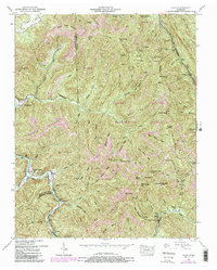
1952 Map of Block
USGS Topo · Published 1988About this map
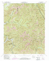
Roach Creek Mountain and Hurricane Mountain dominate this mid-century look at the ridge-and-valley landscape of the Cumberland Mountains. The area's industrial character is defined by extensive coal operations, evidenced by numerous Strip Mines and the presence of the Southern railroad line. Small settlements such as Smoky Junction and Block serve as anchor points for the local population, while smaller locales like Peewee and Brookside follow the winding path of the New River. The map reveals a community deeply tied to both the land's resources and its steep topography, with landmarks like Antioch Church and the Round Rock Cemetery providing essential reference points for genealogical research. Large portions of the terrain are dedicated to conservation and recreation within the Koppers Brushy Mountain Wildlife Management Area, showing the scale of protected woodland in the Campbell County and Scott County borderlands.
Find a feature on this map
119 named features on this map. Tap any name to fly to it.
Don’t see what you’re looking for? This feature index may not catch every label — zoom into the map to look around manually.
Map Details
Editions of this 1952 Block Map
5 editions found
Other maps of this area

1893 · Briceville
USGS Topo · 1:125,000

1895 · Briceville
USGS Topo · 1:125,000

1896 · Briceville
USGS Topo · 1:125,000

1936 · Hogbell Gap
USGS Topo · 1:24,000

1936 · Ivydell
USGS Topo · 1:24,000

1936 · Block
USGS Topo · 1:24,000

1936 · Jacksboro
USGS Topo · 1:24,000

1936 · Pioneer
USGS Topo · 1:24,000

1936 · Duncan Flats
USGS Topo · 1:24,000

1936 · La Follette
USGS Topo · 1:48,000