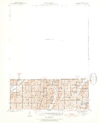
1940 Map of Blockton
USGS Topo · Published 1954About this map
The Iowa Missouri state line serves as a primary axis for this 1940 topographic survey, revealing a landscape defined by small-scale agrarian settlement and an extensive network of rural schools. The village of Irena stands as a central point of interest, while the surrounding townships of Union, Fletchall, and Smith are dotted with numerous educational landmarks such as Honey Grove Sch, Victory Sch, and Lone Star Sch. These numerous schoolhouses imply a densely distributed rural population before the mid-century trend of school consolidation.
Find a feature on this map
33 named features on this map. Tap any name to fly to it.
Don’t see what you’re looking for? This feature index may not catch every label — zoom into the map to look around manually.
Map Details
Editions of this 1940 Blockton Map
2 editions found
Other maps of this area

1940 · Blockton
USGS Topo · 1:62,500

1940 · Bedford
USGS Topo · 1:62,500

1940 · Parnell
USGS Topo · 1:62,500

1942 · Grant City
USGS Topo · 1:62,500

1943 · Bedford
USGS Topo · 1:62,500

1943 · Parnell
USGS Topo · 1:62,500

1943 · Grant City
USGS Topo · 1:62,500

1943 · Blockton
USGS Topo · 1:62,500

1945 · Mount Ayr
USGS Topo · 1:62,500

1947 · Mount Ayr
USGS Topo · 1:62,500