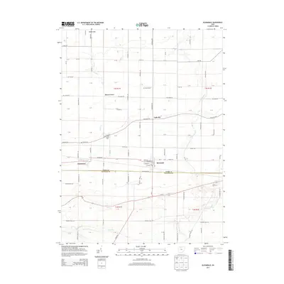
2013 Map of Bloomdale
USGS Topo · Published 2013About this map
The village of Bloomdale serves as the central hub of this Wood County landscape, situated along the east-west corridor of Deshler Rd. The region is defined by a dense grid of rural roads and scattered small communities including Bairdstown, Bloom Center, and Eagleville. Local history and genealogy interests are anchored by several burial grounds, such as Chapel Cem and Weaver Cem in the northwest, and Ark Cem to the southeast. The drainage of the land is shaped by the S Br Portage River and Bull Cr, which meander through the flat agricultural terrain. Just south of the village, the Wood Co Hancock Co line marks a significant political boundary. Aviation history is noted by the presence of Mc Ardle Airport, while the village itself shows detailed street names like Mulberry St and Cherry St near the local Po.
Find a feature on this map
68 named features on this map. Tap any name to fly to it.
Don’t see what you’re looking for? This feature index may not catch every label — zoom into the map to look around manually.
Map Details
Editions of this 2013 Bloomdale Map
This is the sole edition of this map. No revisions or reprints were ever made.
Other maps of this area

1901 · Fostoria
USGS Topo · 1:62,500

1901 · Bowling Green
USGS Topo · 1:62,500

1901 · Elmore
USGS Topo · 1:62,500

1903 · Bowling Green
USGS Topo · 1:62,500

1903 · Fostoria
USGS Topo · 1:62,500

1903 · Findlay
USGS Topo · 1:62,500

1903 · Elmore
USGS Topo · 1:62,500

1956 · Toledo
USGS Topo · 1:250,000

1958 · Jerry City
USGS Topo · 1:24,000

1958 · Bowling Green South
USGS Topo · 1:24,000