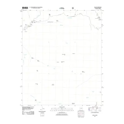
2011 Map of Blue
USGS Topo · Published 2011About this map
Blue River carves through this high-altitude landscape along the Arizona-New Mexico border, anchoring a community defined by its remote ranching and forest service history. The small settlement of Blue serves as a focal point, featuring the Blue Post Office and nearby Marks Ranch. To the south, Jones Cemetery offers a poignant genealogical connection to the early families who settled these canyons.
Find a feature on this map
47 named features on this map. Tap any name to fly to it.
Don’t see what you’re looking for? This feature index may not catch every label — zoom into the map to look around manually.
Map Details
Editions of this 2011 Blue Map
This is the sole edition of this map. No revisions or reprints were ever made.
Other maps of this area

1910 · Mogollon
USGS Topo · 1:125,000

1912 · Mogollon
USGS Topo · 1:125,000

1913 · Morenci
USGS Topo · 1:125,000

1915 · Morenci
USGS Topo · 1:125,000

1915 · Reserve
USGS Topo · 1:125,000

1918 · Reserve
USGS Topo · 1:125,000

1922 · Nutrioso
USGS Topo · 1:125,000

1954 · Clifton
USGS Topo · 1:250,000

1957 · Clifton
USGS Topo · 1:250,000

1958 · Clifton
USGS Topo · 1:250,000