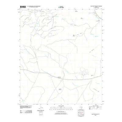
2010 Map of Blue Mountain
USGS Topo · Published 2010About this map
Point of Rocks Roadside Park serves as a prominent landmark along the southern road corridor in this 2010 survey of the Trans-Pecos region. The landscape is defined by the high elevations of Blue Mountain and Limpia Mountain, with numerous canyons such as Limpia Canyon and Brushy Canyon cutting through the terrain. Evidence of ranching and land management is scattered throughout the area, notably at Sargent Ranch Rd and infrastructure like Lower Jones Windmill and Upper Jones Windmill.
Find a feature on this map
44 named features on this map. Tap any name to fly to it.
Don’t see what you’re looking for? This feature index may not catch every label — zoom into the map to look around manually.
Map Details
Editions of this 2010 Blue Mountain Map
This is the sole edition of this map. No revisions or reprints were ever made.
Other maps of this area

1894 · Valentine
USGS Topo · 1:125,000

1894 · Fort Davis
USGS Topo · 1:125,000

1895 · Marfa
USGS Topo · 1:125,000

1895 · Alpine
USGS Topo · 1:125,000

1897 · Valentine
USGS Topo · 1:125,000

1897 · Fort Davis
USGS Topo · 1:125,000

1943 · Valentine
USGS Topo · 1:125,000

1954 · Fort Stockton
USGS Topo · 1:250,000

1958 · Fort Stockton
USGS Topo · 1:250,000

1959 · Marfa
USGS Topo · 1:250,000