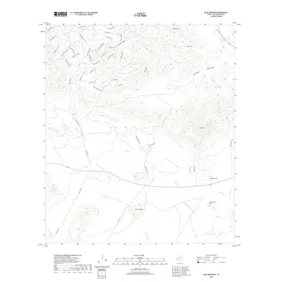
2019 Map of Blue Mountain
USGS Topo · Published 2019About this map
Blue Mtn and Limpia Mtn anchor this high-elevation landscape in Jeff Davis County, where the drainage networks of Cienega Cr and the N Fork Alamito Cr carve through the Davis Mountains. The geography is defined by a dense system of historic access routes and named passes, including Stage Coach Pass and Buckboard Pass, reflecting a legacy of movement through this complex terrain.
Find a feature on this map
58 named features on this map. Tap any name to fly to it.
Don’t see what you’re looking for? This feature index may not catch every label — zoom into the map to look around manually.
Map Details
Editions of this 2019 Blue Mountain Map
This is the sole edition of this map. No revisions or reprints were ever made.
Other maps of this area

1894 · Valentine
USGS Topo · 1:125,000

1894 · Fort Davis
USGS Topo · 1:125,000

1895 · Marfa
USGS Topo · 1:125,000

1895 · Alpine
USGS Topo · 1:125,000

1897 · Valentine
USGS Topo · 1:125,000

1897 · Fort Davis
USGS Topo · 1:125,000

1943 · Valentine
USGS Topo · 1:125,000

1954 · Fort Stockton
USGS Topo · 1:250,000

1958 · Fort Stockton
USGS Topo · 1:250,000

1959 · Marfa
USGS Topo · 1:250,000