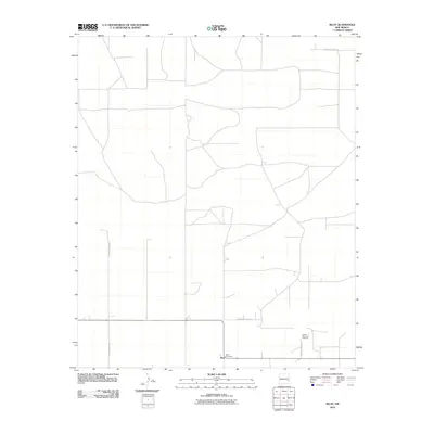
2010 Map of Bluit
USGS Topo · Published 2010About this map
Bluit sits in the high plains of eastern New Mexico, a region defined by its vast grid of county thoroughfares and rural burial sites. This 2010 survey illustrates a landscape primarily organized by long, straight sections of the Roosevelt County road system, such as S Roosevelt Road 35 and S Roosevelt Road L. Genealogists and local historians will find value in the precise locations of the Perkins Memorial Cemetery and the Bluit Cemetery, which serve as primary landmarks for the sparse settlement in this corner of the state. The layout of S Roosevelt Road 42 and S Roosevelt Road G further reveals the rigid agricultural partitioning characteristic of this Llano Estacado territory during the early 21st century.
Find a feature on this map
7 named features on this map. Tap any name to fly to it.
Don’t see what you’re looking for? This feature index may not catch every label — zoom into the map to look around manually.
Map Details
Editions of this 2010 Bluit Map
This is the sole edition of this map. No revisions or reprints were ever made.
Other maps of this area

1954 · Brownfield
USGS Topo · 1:250,000

1958 · Brownfield
USGS Topo · 1:250,000

1962 · Brownfield
USGS Topo · 1:250,000
1970 · Lingo
USGS Topo · 1:24,000
1970 · Bledsoe
USGS Topo · 1:24,000
1970 · Bledsoe NE
USGS Topo · 1:24,000
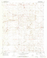
1972 · Bluit
USGS Topo · 1:24,000
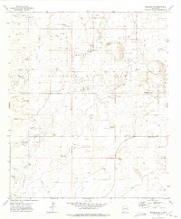
1972 · Bledsoe SW
USGS Topo · 1:24,000
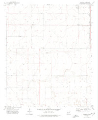
1972 · Garrison
USGS Topo · 1:24,000
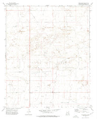
1972 · Milnesand
USGS Topo · 1:24,000