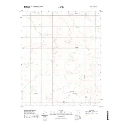
2020 Map of Bluit
USGS Topo · Published 2020About this map
Bluit stands as the primary namesake for this section of eastern Roosevelt County, New Mexico. The landscape is defined by the rigid grid of the Public Land Survey System, with township boundaries such as t7s r37e and t8s r36e organizing the high plains territory. This specific area preserves important genealogical markers, including the Bluitt Cem and the Perkins Memorial Cem, both located near the southern reaches of the quadrangle. The transportation network is almost entirely composed of straight-line rural corridors like S Roosevelt Road 42 and S Roosevelt Rd G, reflecting a land-use pattern focused on large-scale agriculture and ranching where the geography is dictated more by legal boundaries than by topographical obstacles.
Find a feature on this map
12 named features on this map. Tap any name to fly to it.
Don’t see what you’re looking for? This feature index may not catch every label — zoom into the map to look around manually.
Map Details
Editions of this 2020 Bluit Map
This is the sole edition of this map. No revisions or reprints were ever made.
Other maps of this area

1954 · Brownfield
USGS Topo · 1:250,000

1958 · Brownfield
USGS Topo · 1:250,000

1962 · Brownfield
USGS Topo · 1:250,000
1970 · Lingo
USGS Topo · 1:24,000
1970 · Bledsoe
USGS Topo · 1:24,000
1970 · Bledsoe NE
USGS Topo · 1:24,000
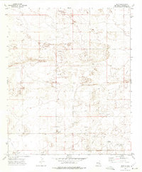
1972 · Bluit
USGS Topo · 1:24,000
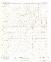
1972 · Bledsoe SW
USGS Topo · 1:24,000
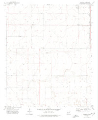
1972 · Garrison
USGS Topo · 1:24,000
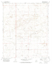
1972 · Milnesand
USGS Topo · 1:24,000