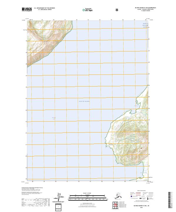
2024 Map of Blying Sound D-3 NE
USGS Topo · Published 2024About this map
Chugach National Forest encompasses the primary landmasses shown in this coastal survey, where the rugged topography of the Kenai Peninsula meets the open sea. In the northwest corner of the sheet, Latouche Peak rises sharply above Montague Strait, marking a prominent landmark for navigation. To the southeast, the terrain transitions into a series of deeply indented coastal features, including the sheltered waters of MacLeod Harbor and Fault Cove. The landscape is characterized by steep elevation changes and dense drainage patterns typical of the maritime environment where the Prince William Sound converges with the Gulf of Alaska. Near the southern shoreline, Point Woodcock serves as a distinct coastal boundary. The lack of roads or established settlements emphasizes the remote nature of these forest lands, preserving a snapshot of the Alaskan wilderness as it remains today.
Find a feature on this map
12 named features on this map. Tap any name to fly to it.
Don’t see what you’re looking for? This feature index may not catch every label — zoom into the map to look around manually.
Map Details
Editions of this 2024 Blying Sound D-3 NE Map
This is the sole edition of this map. No revisions or reprints were ever made.
Other maps of this area

1946 · Blying Sound
USGS Topo · 1:250,000

1951 · Blying Sound
USGS Topo · 1:250,000

1951 · Seward
USGS Topo · 1:250,000

1951 · Seward A-2
USGS Topo · 1:63,360

1951 · Seward A-3
USGS Topo · 1:63,360

1951 · Blying Sound D-1 and D-2
USGS Topo · 1:63,360

1952 · Seward A-3
USGS Topo · 1:63,360

1953 · Seward A-2
USGS Topo · 1:63,360
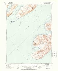
1953 · Blying Sound D-3
USGS Topo · 1:63,360
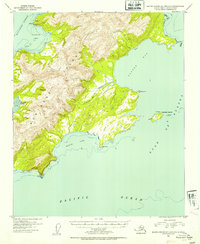
1953 · Blying Sound D-1 and D-2
USGS Topo · 1:63,360