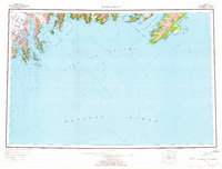
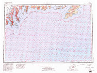
1953 Map of Blying Sound
USGS Topo · Published 1965About this map
The Harding Icefield dominates the northwestern heights of the Kenai Peninsula in this mid-century survey, its massive frozen expanse feeding the Aialik Glacier and Bear Glacier which reach toward the sea. The coastline is a complex network of fjords and sounds, including the deep waters of Resurrection Bay and the wide reach of Blying Sound. To the east, the map details the outer islands of the Chugach National Forest, from the narrow passages surrounding Latouche Island to the prominent coast of Montague Island.
Find a feature on this map
70 named features on this map. Tap any name to fly to it.
Don’t see what you’re looking for? This feature index may not catch every label — zoom into the map to look around manually.
Map Details
Editions of this 1953 Blying Sound Map
6 editions found

Other maps of this area

1944 · Kenai
USGS Topo · 1:250,000

1946 · Blying Sound
USGS Topo · 1:250,000

1948 · Cordova
USGS Topo · 1:250,000

1948 · Middleton Island
USGS Topo · 1:250,000

1950 · Kenai
USGS Topo · 1:250,000

1950 · Middleton Island
USGS Topo · 1:250,000

1950 · Seward A-6
USGS Topo · 1:63,360

1950 · Seward A-8
USGS Topo · 1:63,360

1950 · Blying Sound D-7
USGS Topo · 1:63,360

1950 · Blying Sound D-6
USGS Topo · 1:63,360