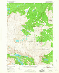
1952 Map of Bob Lakes
USGS Topo · Published 1967About this map
Shoshone National Forest and the Wind River Indian Reservation meet along a complex boundary in this high-altitude 1952 survey. The landscape is defined by the sharp transition between the Kirkland Mountains and a series of glacial basins containing Big Milky Lake, Little Milky Lake, and Crater Lake. The presence of the Meadow Creek Lookout Tower on Bold Mountain underscores the area's importance for resource management and fire surveillance during the mid-century. High mountain transit is marked by Indian Pass, while a network of drainages including Bull Lake Creek and the forks of North Fork Willow Creek provide the primary hydrological structure for this wilderness terrain. This map captures the administrative and natural geography of the region before modern digital mapping, reflecting the Missouri River Basin development program's detailed study of western water sources.
Find a feature on this map
24 named features on this map. Tap any name to fly to it.
Don’t see what you’re looking for? This feature index may not catch every label — zoom into the map to look around manually.
Map Details
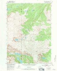
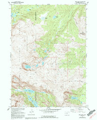
Editions of this 1952 Bob Lakes Map
4 editions found
Other maps of this area

1909 · Fremont Peak
USGS Topo · 1:125,000

1952 · Hays Park
USGS Topo · 1:24,000

1952 · Bob Lakes
USGS Topo · 1:24,000

1952 · Burris
USGS Topo · 1:24,000

1952 · Kirkland Park
USGS Topo · 1:24,000

1952 · Paradise Basin
USGS Topo · 1:24,000

1952 · Alpine Lake
USGS Topo · 1:24,000

1955 · Thermopolis
USGS Topo · 1:250,000

1958 · Thermopolis
USGS Topo · 1:250,000

1962 · Thermopolis
USGS Topo · 1:250,000