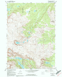
1952 Map of Bob Lakes
USGS Topo · Published 1993About this map
The high alpine Divide of the Kirkland Mountains defines this landscape where the Wind River Indian Reservation meets the Shoshone National Forest. This 1952 field-checked survey highlights a complex drainage system feeding the North Fork Wind River and Bull Lake Creek. The terrain is marked by high-altitude features like Indian Pass and prominent peaks including Bold Mountain, which is capped by the Meadow Creek Lookout Tower. Glacial legacies are evident in the dense clusters of lakes, such as Little Bob Lake, Crater Lake, and the distinctive Big Milky Lake. The boundary of the Fitzpatrick Wilderness runs along the western edge, preserving a vast roadless area where Lenagon Meadows provides a break in the steep, timbered slopes of the Wind River Range.
Find a feature on this map
28 named features on this map. Tap any name to fly to it.
Don’t see what you’re looking for? This feature index may not catch every label — zoom into the map to look around manually.
Map Details
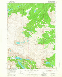
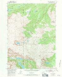
Editions of this 1952 Bob Lakes Map
4 editions found
Other maps of this area

1909 · Fremont Peak
USGS Topo · 1:125,000

1952 · Hays Park
USGS Topo · 1:24,000

1952 · Bob Lakes
USGS Topo · 1:24,000

1952 · Burris
USGS Topo · 1:24,000

1952 · Kirkland Park
USGS Topo · 1:24,000

1952 · Paradise Basin
USGS Topo · 1:24,000

1952 · Alpine Lake
USGS Topo · 1:24,000

1955 · Thermopolis
USGS Topo · 1:250,000

1958 · Thermopolis
USGS Topo · 1:250,000

1962 · Thermopolis
USGS Topo · 1:250,000