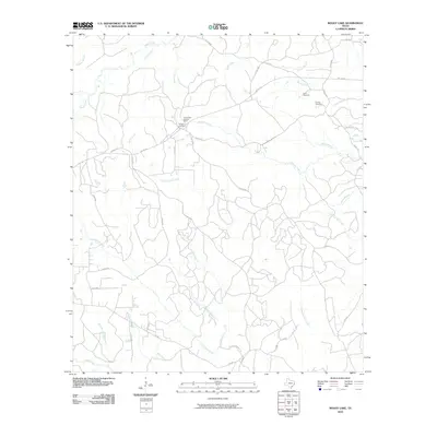
2010 Map of Boggy Lake
USGS Topo · Published 2010About this map
Smith Ferry Lookout Tower stands as a prominent navigation point in this wooded region of Tyler County, overlooking a complex network of waterways. The landscape is defined by the convergence of several significant branches and creeks, including Pamplin Creek, Tompkins Mill Creek, and Hopson Mill Creek. These drainages suggest a history of localized water-powered industry or early settlement patterns tied to the seasonal flow of the Neches River watershed.
Find a feature on this map
46 named features on this map. Tap any name to fly to it.
Don’t see what you’re looking for? This feature index may not catch every label — zoom into the map to look around manually.
Map Details
Editions of this 2010 Boggy Lake Map
This is the sole edition of this map. No revisions or reprints were ever made.
Other maps of this area

1928 · Zavalla 3-c
USGS Topo · 1:24,000

1931 · Zavalla
USGS Topo · 1:62,500

1953 · Palestine
USGS Topo · 1:250,000

1954 · Beaumont
USGS Topo · 1:250,000

1955 · Woodville
USGS Topo · 1:62,500

1955 · Curtis
USGS Topo · 1:62,500

1957 · Beaumont
USGS Topo · 1:250,000

1957 · Palestine
USGS Topo · 1:250,000

1958 · Zavalla
USGS Topo · 1:62,500

1958 · Mc Gee Bend
USGS Topo · 1:62,500