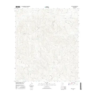
2016 Map of Boggy Lake
USGS Topo · Published 2016About this map
Boggy Lake sits at the heart of this East Texas terrain, which is defined by an intricate network of creeks and branches feeding into the larger local watersheds. The landscape is marked by numerous family-named burial grounds, including Davis Cem, Grimes Cem, and Gregory Cem, suggesting long-standing family ties to the land. Transportation through the area is facilitated by a dense grid of county roads and forestry routes like Fowler Rd and FM 256, which wind through the topographical relief. Water features dominate the map, with named drainages such as Tompkins Mill Cr, Hanson-Mill Cr, and Snowden Spring Br indicating the historical importance of water for early industry and milling in the region. The map provides a look at the rural character of Tyler County during the mid-2010s, showing a mix of established homesteads and undeveloped natural corridors.
Find a feature on this map
60 named features on this map. Tap any name to fly to it.
Don’t see what you’re looking for? This feature index may not catch every label — zoom into the map to look around manually.
Map Details
Editions of this 2016 Boggy Lake Map
This is the sole edition of this map. No revisions or reprints were ever made.
Other maps of this area

1928 · Zavalla 3-c
USGS Topo · 1:24,000

1931 · Zavalla
USGS Topo · 1:62,500

1953 · Palestine
USGS Topo · 1:250,000

1954 · Beaumont
USGS Topo · 1:250,000

1955 · Woodville
USGS Topo · 1:62,500

1955 · Curtis
USGS Topo · 1:62,500

1957 · Beaumont
USGS Topo · 1:250,000

1957 · Palestine
USGS Topo · 1:250,000

1958 · Zavalla
USGS Topo · 1:62,500

1958 · Mc Gee Bend
USGS Topo · 1:62,500