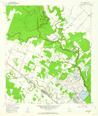
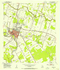
1953 Map of Boling
USGS Topo · Published 1963About this map
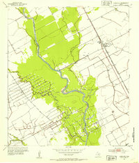
Industrial sulphur extraction and agricultural settlement define this landscape along the San Bernard River and Caney Creek. The extensive operations at Newgulf are prominently displayed, featuring a large Reservoir, a Sulphur Salt Water Canal, and a Sulphur Stock Pile, indicating the region's importance to the Texas mineral economy in the mid-1950s. The Southern Pacific railroad links these production centers to the communities of Boling and Iago, cutting a straight path through the surrounding fields.
Find a feature on this map
31 named features on this map. Tap any name to fly to it.
Don’t see what you’re looking for? This feature index may not catch every label — zoom into the map to look around manually.
Map Details
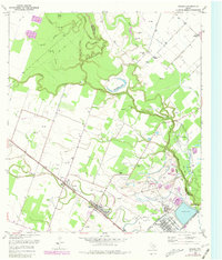
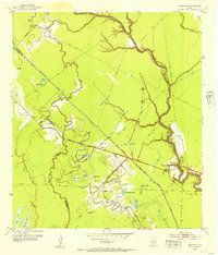
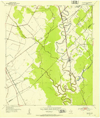
Editions of this 1953 Boling Map
Other maps of this area

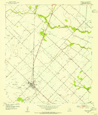
1950 · Houston
USGS Topo · 1:250,000
1952 · Danciger
USGS Topo · 1:24,000
1952 · Pledger
USGS Topo · 1:24,000
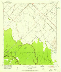
1952 · Lane City
USGS Topo · 1:24,000
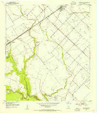
1953 · Needville
USGS Topo · 1:24,000
1953 · Guy
USGS Topo · 1:24,000
1953 · Kendleton
USGS Topo · 1:24,000
1953 · Wharton
USGS Topo · 1:24,000
1953 · Hungerford
USGS Topo · 1:24,000
1953 · Boling
USGS Topo · 1:24,000