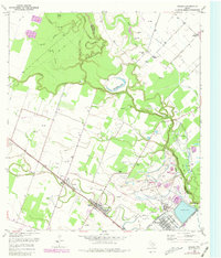
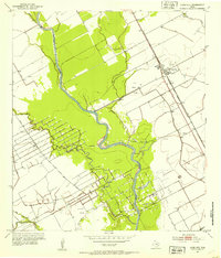
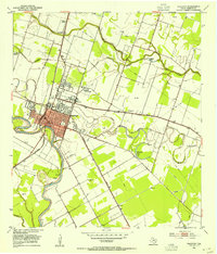
1953 Map of Boling
USGS Topo · Published 1981About this map
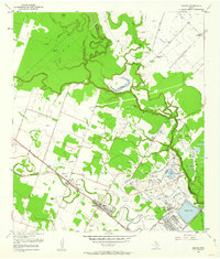
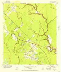
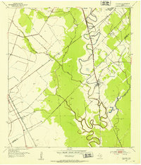
Industrial and agricultural development define this landscape along the Fort Bend and Wharton county line. The Boling Oil Field dominates the central terrain, marked by a dense concentration of oil wells, tanks, and pipelines stretching toward Newgulf. This company town was built around the sulfur industry, evidenced by the extensive network of the Sulphur Ditch, Salt Water Canal, and large reservoirs. The Southern Pacific railroad cuts through the settlements of Boling and Iago, facilitating the transport of local resources.
Find a feature on this map
33 named features on this map. Tap any name to fly to it.
Don’t see what you’re looking for? This feature index may not catch every label — zoom into the map to look around manually.
Map Details
Editions of this 1953 Boling Map
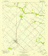
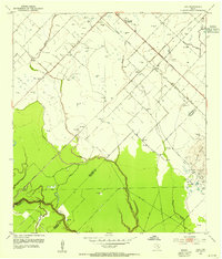
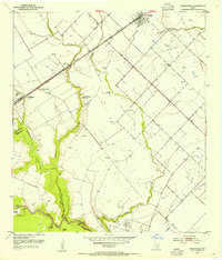
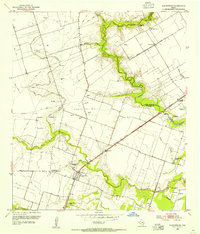
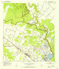
Other maps of this area

1950 · Houston
USGS Topo · 1:250,000
1952 · Danciger
USGS Topo · 1:24,000
1952 · Pledger
USGS Topo · 1:24,000
1952 · Lane City
USGS Topo · 1:24,000
1953 · Needville
USGS Topo · 1:24,000
1953 · Guy
USGS Topo · 1:24,000
1953 · Kendleton
USGS Topo · 1:24,000
1953 · Wharton
USGS Topo · 1:24,000
1953 · Hungerford
USGS Topo · 1:24,000
1953 · Boling
USGS Topo · 1:24,000