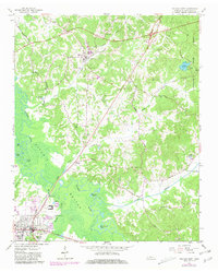
1961 Map of Bolivar East
USGS Topo · Published 1981About this map
The Hatchie River and its expansive Hatchie Bottom dominate this West Tennessee landscape, where the seasonal hydrology is marked by numerous backwater features like Horseshoe Pond, The Grinnel Pond, and Jack Pond. The Illinois Central railroad cuts through the terrain, serving the village of Toone, which sits as a cluster of homes and institutions such as Cumberland Ch and Mount Zion Ch. To the northeast, the terrain rises into the timbered uplands of Chickasaw State Park, centering on Lake Lajoie.
Find a feature on this map
53 named features on this map. Tap any name to fly to it.
Don’t see what you’re looking for? This feature index may not catch every label — zoom into the map to look around manually.
Map Details
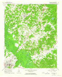
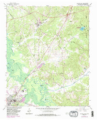
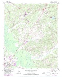
Editions of this 1961 Bolivar East Map
4 editions found
Other maps of this area

1950 · Hebron
USGS Topo · 1:24,000

1950 · Hornsby
USGS Topo · 1:24,000

1950 · Middleburg
USGS Topo · 1:24,000

1951 · Middleburg
USGS Topo · 1:24,000

1951 · Hebron
USGS Topo · 1:24,000

1951 · Hornsby
USGS Topo · 1:24,000

1956 · Blytheville
USGS Topo · 1:250,000

1959 · Blytheville
USGS Topo · 1:250,000

1961 · Bolivar West
USGS Topo · 1:24,000

1961 · Medon
USGS Topo · 1:24,000