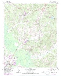
1961 Map of Bolivar East
USGS Topo · Published 1983About this map
The Hatchie River dominates this portion of Hardeman County, winding through the expansive Hatchie Bottom just north of the county seat at Bolivar. The 1961 topography reveals a landscape defined by its waterways and wetlands, including Jack Pond, Otter Pond, and the horseshoe-shaped meanders of the river. To the northeast, Chickasaw State Forest Park provides a distinct contrast with its wooded ridges and Lake Lajoie.
Find a feature on this map
52 named features on this map. Tap any name to fly to it.
Don’t see what you’re looking for? This feature index may not catch every label — zoom into the map to look around manually.
Map Details
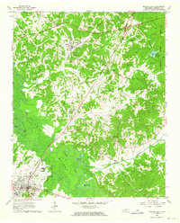
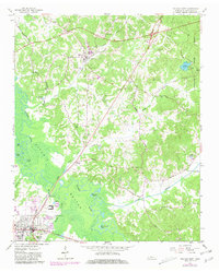
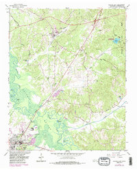
Editions of this 1961 Bolivar East Map
4 editions found
Other maps of this area

1950 · Hebron
USGS Topo · 1:24,000

1950 · Hornsby
USGS Topo · 1:24,000

1950 · Middleburg
USGS Topo · 1:24,000

1951 · Middleburg
USGS Topo · 1:24,000

1951 · Hebron
USGS Topo · 1:24,000

1951 · Hornsby
USGS Topo · 1:24,000

1956 · Blytheville
USGS Topo · 1:250,000

1959 · Blytheville
USGS Topo · 1:250,000

1961 · Bolivar West
USGS Topo · 1:24,000

1961 · Medon
USGS Topo · 1:24,000