
1954 Map of Bolton
USGS Topo · Published 1957About this map
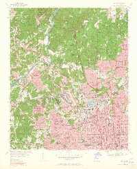
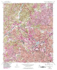
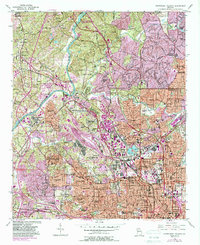
The Chattahoochee River carves a natural boundary between Cobb and Fulton Counties, anchoring a landscape where industrial infrastructure meets rapidly expanding residential neighborhoods. Major rail corridors including the Southern Railway and the Seaboard Air Line Railroad converge in the southern half of the map, feeding the bustling growth of Atlanta and the Five Points district. The presence of numerous Brick Kilns near Riverside and Chattahoochee points to the area's role in the city's physical construction, while the extensive grid of schools like West Fulton High Sch and Booker T Washington High School reflects the social development of mid-century communities.
Find a feature on this map
112 named features on this map. Tap any name to fly to it.
Don’t see what you’re looking for? This feature index may not catch every label — zoom into the map to look around manually.
Map Details
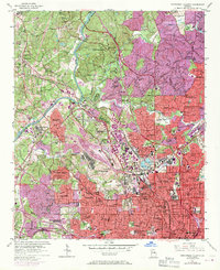
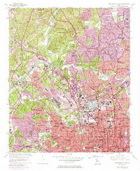
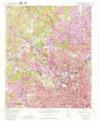
Editions of this 1954 Bolton Map
7 editions found
Other maps of this area

1888 · Atlanta
USGS Topo · 1:125,000

1890 · Atlanta
USGS Topo · 1:125,000

1891 · Marietta
USGS Topo · 1:125,000

1892 · Atlanta
USGS Topo · 1:125,000

1895 · Atlanta
USGS Topo · 1:125,000

1895 · Marietta
USGS Topo · 1:125,000

1897 · Marietta
USGS Topo · 1:125,000

1901 · Marietta
USGS Topo · 1:125,000

1953 · Atlanta
USGS Topo · 1:250,000

1954 · Conley
USGS Topo · 1:24,000