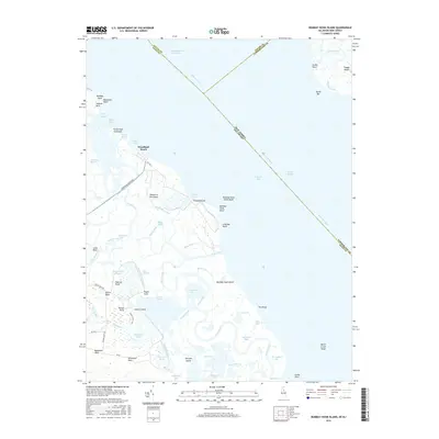
2016 Map of Bombay Hook Island
USGS Topo · Published 2016About this map
Bombay Hook Island and the marshy margins of the Delmarva Peninsula dominate this coastal landscape at the meeting point of the Delaware River and Delaware Bay. This environment is defined by an intricate network of tidal waterways, including the Dutch Neck Canal, Slooch Ditch, and Raymond Gut. Small settlements such as Woodland Beach and Fraland Beach cling to the shoreline, while the interior is a complex of wetlands like Bear Swamp Pool and Money Marsh.
Find a feature on this map
76 named features on this map. Tap any name to fly to it.
Don’t see what you’re looking for? This feature index may not catch every label — zoom into the map to look around manually.
Map Details
Editions of this 2016 Bombay Hook Island Map
This is the sole edition of this map. No revisions or reprints were ever made.
Other maps of this area

1890 · Bay Side
USGS Topo · 1:62,500

1894 · Bay Side
USGS Topo · 1:62,500

1899 · Vineland
USGS Topo · 1:125,000

1899 · Dover
USGS Topo · 1:125,000

1906 · Dover
USGS Topo · 1:125,000

1919 · Vineland
USGS Topo · 1:125,000

1920 · Dover
USGS Topo · 1:125,000

1926 · Wyoming
USGS Topo · 1:48,000

1930 · Wyoming
USGS Topo · 1:62,500

1931 · Wyoming
USGS Topo · 1:62,500