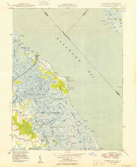
1949 Map of Bombay Hook
USGS Topo · Published 1949About this map
Woodland Beach and the coastal marshes of the Bombay Hook National Wildlife Refuge define this 1940s landscape along the Delaware Bay. The intricate network of tidal waterways, including Duck Creek, Mikes Ditch, and Dutch Neck Canal, illustrates a complex amphibious environment where land and water shift with the tides. Navigation aids like the Ship John Shoal Lt and the presence of piers in ruins near the shoreline indicate the area's maritime history and the constant battle against erosion and silting.
Find a feature on this map
56 named features on this map. Tap any name to fly to it.
Don’t see what you’re looking for? This feature index may not catch every label — zoom into the map to look around manually.
Map Details
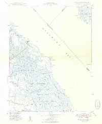
Editions of this 1949 Bombay Hook Map
2 editions found
Other maps of this area

1890 · Bay Side
USGS Topo · 1:62,500

1894 · Bay Side
USGS Topo · 1:62,500

1899 · Vineland
USGS Topo · 1:125,000

1899 · Dover
USGS Topo · 1:125,000

1906 · Dover
USGS Topo · 1:125,000

1919 · Vineland
USGS Topo · 1:125,000

1920 · Dover
USGS Topo · 1:125,000

1926 · Wyoming
USGS Topo · 1:48,000

1930 · Wyoming
USGS Topo · 1:62,500

1931 · Wyoming
USGS Topo · 1:62,500