
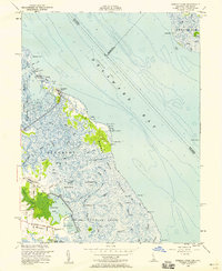
1956 Map of Bombay Hook
USGS Topo · Published 1981About this map
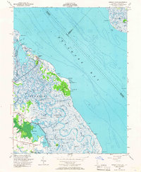
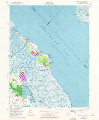
Bombay Hook National Wildlife Refuge dominates this coastal landscape, revealing a complex network of brackish tidal guts and managed pools during the mid-20th century. The intricate drainage pattern of Duck Creek and its many offshoots, such as Mikes Ditch and Sluice Ditch, illustrates the intersection of natural salt marshes and human engineering for habitat management. Along the coastline of Delaware Bay, small clusters of settlement like Woodland Beach provide a focal point for local activity, while isolated Ruins and family-named landmarks like Collins Island offer clues to earlier agricultural or maritime footprints. From the salt-sprayed reaches of Bombay Hook Island to the inland tracts of Leatherberry Flats, the map documents a transition from tidal flats to the interior wetlands of District No 1, anchored by the lonely sentinel of Ship John Shoal Lt in the offshore waters.
Find a feature on this map
59 named features on this map. Tap any name to fly to it.
Don’t see what you’re looking for? This feature index may not catch every label — zoom into the map to look around manually.
Map Details
Editions of this 1956 Bombay Hook Map
4 editions found
Other maps of this area

1890 · Bay Side
USGS Topo · 1:62,500

1894 · Bay Side
USGS Topo · 1:62,500

1899 · Vineland
USGS Topo · 1:125,000

1899 · Dover
USGS Topo · 1:125,000

1906 · Dover
USGS Topo · 1:125,000

1919 · Vineland
USGS Topo · 1:125,000

1920 · Dover
USGS Topo · 1:125,000

1926 · Wyoming
USGS Topo · 1:48,000

1930 · Wyoming
USGS Topo · 1:62,500

1931 · Wyoming
USGS Topo · 1:62,500