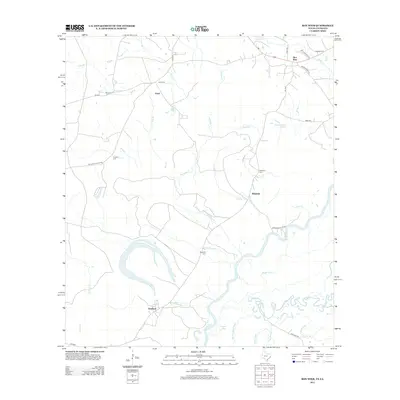
2012 Map of Bon Wier
USGS Topo · Published 2012About this map
The Sabine River defines the landscape of this border region, carving a complex path of oxbows and sloughs through Newton County. Along its western banks, the settlement of Belgrade remains a focal point of local history, marked by the Belgrade Cem and nearby Whitman Cem. The terrain is deeply etched by a network of drainage systems, including Coon Br, Dempsey Cr, and Church House Cr, which flow toward the river's main channel and its secondary branches like Middle River and Old River.
Find a feature on this map
38 named features on this map. Tap any name to fly to it.
Don’t see what you’re looking for? This feature index may not catch every label — zoom into the map to look around manually.
Map Details
Editions of this 2012 Bon Wier Map
This is the sole edition of this map. No revisions or reprints were ever made.
Other maps of this area

1935 · Wilson Lake
USGS Topo · 1:31,680

1946 · Merryville
USGS Topo · 1:31,680

1947 · Wilson Lake
USGS Topo · 1:31,680

1947 · Hyatt
USGS Topo · 1:31,680

1947 · Bivens
USGS Topo · 1:31,680

1949 · Bancroft
USGS Topo · 1:31,680

1952 · Lake Charles
USGS Topo · 1:250,000
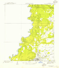
1954 · Merryville
USGS Topo · 1:31,680
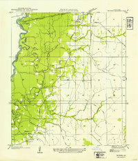
1954 · Bivens
USGS Topo · 1:31,680

1954 · Lake Charles
USGS Topo · 1:250,000