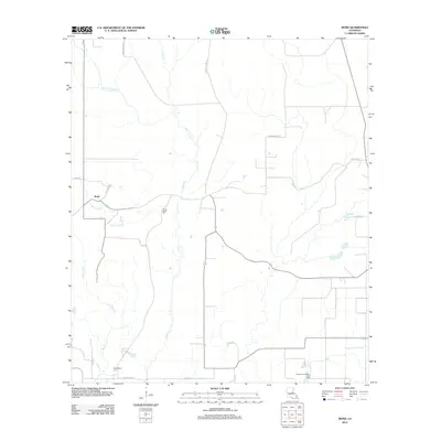
2012 Map of Bond
USGS Topo · Published 2012About this map
Bond and the surrounding piney lowlands of Allen Parish are defined by a network of creeks and bayous in this 2012 USGS survey. The landscape is largely rural, shaped by the drainage of Caney Cr and Mulberry Cr, with several small settlements such as Chretein connected by a grid of named local roads. For local historians and genealogists, the map identifies significant sites like Caney Creek Cem and Duplechien Cem, providing precise locations for family research. A notable economic feature is the Grand Louis Bayou Oil Field in the southeast, indicating the area's continued reliance on natural resource extraction. The winding paths of Merry Gully and Grand Louis Bayou cut through the terrain, illustrating the intricate hydrology of this Louisiana coastal plain region.
Find a feature on this map
22 named features on this map. Tap any name to fly to it.
Don’t see what you’re looking for? This feature index may not catch every label — zoom into the map to look around manually.
Map Details
Editions of this 2012 Bond Map
This is the sole edition of this map. No revisions or reprints were ever made.
Other maps of this area

1935 · Beaver
USGS Topo · 1:31,680

1935 · Oakdale
USGS Topo · 1:31,680

1935 · Turkey Creek
USGS Topo · 1:62,500

1942 · Oakdale
USGS Topo · 1:62,500

1947 · Fruge Lake
USGS Topo · 1:31,680

1947 · Foley
USGS Topo · 1:31,680

1947 · Redland
USGS Topo · 1:31,680

1947 · Bond
USGS Topo · 1:31,680

1949 · Bayou Blue
USGS Topo · 1:31,680

1949 · Turkey Creek
USGS Topo · 1:62,500