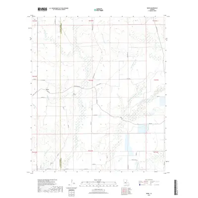
2018 Map of Bond
USGS Topo · Published 2018About this map
Bond sits at the western edge of a landscape defined by the winding drainages of the W Fork Bayou Nezpique and Caney Cr. This part of south-central Louisiana, straddling the boundary of Allen Parish and Evangeline Parish, is characterized by a dense network of local rural roads such as Spring Prairie Rd and Burned Down Rd. For local historians and genealogists, the map identifies specific burial sites including Caney Creek Cem and Duplechien Cem. The terrain is marked by numerous bayous and gullies, including Grand Louis Bayou and Merry Gully, which dictate the placement of early routes and land divisions. The area remains largely rural, with the township and range lines of the Public Land Survey System providing the primary framework for the local landscape and property boundaries.
Find a feature on this map
45 named features on this map. Tap any name to fly to it.
Don’t see what you’re looking for? This feature index may not catch every label — zoom into the map to look around manually.
Map Details
Editions of this 2018 Bond Map
This is the sole edition of this map. No revisions or reprints were ever made.
Other maps of this area

1935 · Beaver
USGS Topo · 1:31,680

1935 · Oakdale
USGS Topo · 1:31,680

1935 · Turkey Creek
USGS Topo · 1:62,500

1942 · Oakdale
USGS Topo · 1:62,500

1947 · Fruge Lake
USGS Topo · 1:31,680

1947 · Foley
USGS Topo · 1:31,680

1947 · Redland
USGS Topo · 1:31,680

1947 · Bond
USGS Topo · 1:31,680

1949 · Bayou Blue
USGS Topo · 1:31,680

1949 · Turkey Creek
USGS Topo · 1:62,500