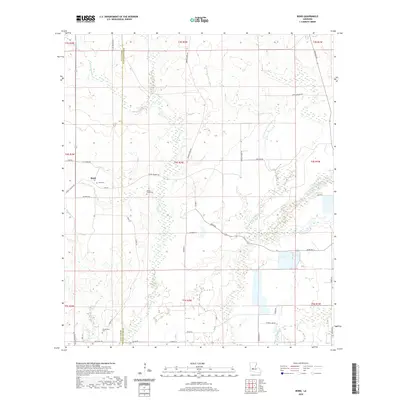
2020 Map of Bond
USGS Topo · Published 2020About this map
Bond and the surrounding piney woods of Allen Parish and Evangeline Parish define this landscape, where the headwaters of the Mermentau River basin take shape. The terrain is deeply etched by a network of drainage systems, including W Fork Caney Cr and W Fork Bayou Nezpique, creating a complex pattern of wetlands and bayous. For those researching local families, the map identifies small, rural burial grounds like Bond Cem, Caney Creek Cem, and Duplechien Cem tucked away from the main thoroughfares. A detailed road network, including Burned Down Rd and Joe Soignier Rd, reveals the scattered settlement patterns typical of this Louisiana interior. The survey provides a clear view of the area near Chretein and the winding course of Grand Louis Bayou as they existed in the early twenty-first century.
Find a feature on this map
46 named features on this map. Tap any name to fly to it.
Don’t see what you’re looking for? This feature index may not catch every label — zoom into the map to look around manually.
Map Details
Editions of this 2020 Bond Map
This is the sole edition of this map. No revisions or reprints were ever made.
Other maps of this area

1935 · Beaver
USGS Topo · 1:31,680

1935 · Oakdale
USGS Topo · 1:31,680

1935 · Turkey Creek
USGS Topo · 1:62,500

1942 · Oakdale
USGS Topo · 1:62,500

1947 · Fruge Lake
USGS Topo · 1:31,680

1947 · Foley
USGS Topo · 1:31,680

1947 · Redland
USGS Topo · 1:31,680

1947 · Bond
USGS Topo · 1:31,680

1949 · Bayou Blue
USGS Topo · 1:31,680

1949 · Turkey Creek
USGS Topo · 1:62,500