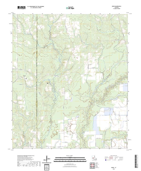
2024 Map of Bond
USGS Topo · Published 2024About this map
The settlement of Bond anchors this landscape along the boundary of Allen and Evangeline Parishes. This area of central Louisiana is defined by a dense network of watercourses, including the West Fork Bayou Nezpique, East Fork Bayou Nezpique, and Grand Louis Bayou. These waterways dictate the local geography, with smaller tributaries like Merry Gully and Mulberry Creek cutting through the terrain. The map serves as a vital record for genealogists, documenting family and community history through sites such as the Bond Cem, Caney Creek Cem, and Duplechien Cem. Local transport is characterized by a grid of rural routes including State Rte 372 and several family-named roads like Ellis Bond Rd and Russell Manuel Rd, reflecting the region's agricultural and timber-linked heritage.
Find a feature on this map
47 named features on this map. Tap any name to fly to it.
Don’t see what you’re looking for? This feature index may not catch every label — zoom into the map to look around manually.
Map Details
Editions of this 2024 Bond Map
This is the sole edition of this map. No revisions or reprints were ever made.
Other maps of this area

1935 · Beaver
USGS Topo · 1:31,680

1935 · Oakdale
USGS Topo · 1:31,680

1935 · Turkey Creek
USGS Topo · 1:62,500

1942 · Oakdale
USGS Topo · 1:62,500

1947 · Fruge Lake
USGS Topo · 1:31,680

1947 · Foley
USGS Topo · 1:31,680

1947 · Redland
USGS Topo · 1:31,680

1947 · Bond
USGS Topo · 1:31,680

1949 · Bayou Blue
USGS Topo · 1:31,680

1949 · Turkey Creek
USGS Topo · 1:62,500