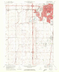
1970 Map of Bondville
USGS Topo · Published 1972About this map
Champaign expands westward across the flat drainage of Twomile Slough and Copper Slough in this 1970 snapshot of east-central Illinois. The map documents a significant era of institutional and residential growth, featuring the development of University of Illinois-Willard Airport to the south and a dense concentration of local schools like Centennial High Sch and South Side Sch. The transition from the urban grid of the Champaign Twp seat to the outlying grain-fed landscapes of Bondville and Staley is clearly visible, punctuated by essential infrastructure including the Kaskaskia Ditch, multiple Radio Towers, and a large Tank Farm. Local historians will find interest in the proximity of Cole Hospital and the Greenbriar Manor Nursing Home to established parks like Hessel Park and Mattis Park, illustrating the mid-century expansion of community services. The Illinois Central railroad remains a dominant transit spine, connecting the suburbanizing village of Savoy with the heart of the city.
Find a feature on this map
60 named features on this map. Tap any name to fly to it.
Don’t see what you’re looking for? This feature index may not catch every label — zoom into the map to look around manually.
Map Details
Editions of this 1970 Bondville Map
2 editions found
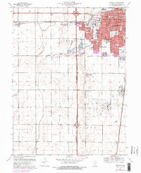
Other maps of this area

1906 · Urbana
USGS Topo · 1:62,500

1907 · Mahomet
USGS Topo · 1:62,500

1950 · Tuscola
USGS Topo · 1:62,500

1956 · Villa Grove
USGS Topo · 1:62,500

1957 · Urbana
USGS Topo · 1:62,500

1957 · Urbana
USGS Topo · 1:24,000

1957 · Rising
USGS Topo · 1:24,000

1957 · Mahomet
USGS Topo · 1:62,500

1957 · Bondville
USGS Topo · 1:24,000
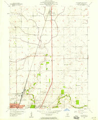
1957 · Thomasboro
USGS Topo · 1:24,000