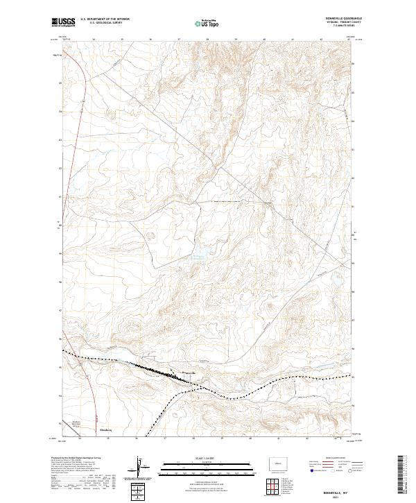
2021 Map of Bonneville
USGS Topo · Published 2021About this map
Bonneville serves as a central point in this high-desert landscape, situated where Bonneville Rd meets the drainage of Badwater Creek. This modern survey illustrates a rugged ranching and transit corridor, defined by the convergence of several significant local arteries including Badwater Rd and Queen Sabe Rd. The settlement of Shoshoni occupies the southwestern corner of the quadrangle, anchored by the Shoshoni Municipal Airport and Idaho St.
Find a feature on this map
17 named features on this map. Tap any name to fly to it.
Don’t see what you’re looking for? This feature index may not catch every label — zoom into the map to look around manually.
Map Details
Editions of this 2021 Bonneville Map
This is the sole edition of this map. No revisions or reprints were ever made.
Other maps of this area

1950 · Bonneville SW
USGS Topo · 1:24,000

1951 · Boysen
USGS Topo · 1:24,000

1951 · Birdseye Pass
USGS Topo · 1:24,000

1951 · Hidden Valley
USGS Topo · 1:24,000

1951 · Bonneville
USGS Topo · 1:24,000

1951 · Shoshoni
USGS Topo · 1:24,000

1952 · Ocla Draw
USGS Topo · 1:24,000

1952 · Picard Ranch
USGS Topo · 1:24,000

1952 · Guffy Peak
USGS Topo · 1:24,000

1955 · Thermopolis
USGS Topo · 1:250,000