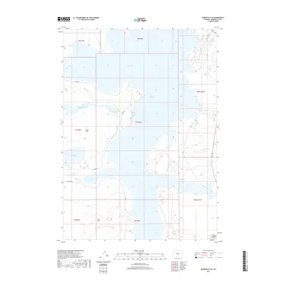
2017 Map of Bonneville SW
USGS Topo · Published 2017About this map
Boysen Reservoir dominates this landscape, its intricate shoreline carving into the arid terrain of central Wyoming. This 2017 survey reveals a sophisticated water management system integrated with the natural topography, notably through the Sand Mesa Number 1 Reservoir and Sand Mesa Number 2 Reservoir situated atop Sand Mesa. These features, along with Lake Comeahwait, indicate the region's reliance on engineered water storage for irrigation or recreation in a high-desert environment.
Find a feature on this map
20 named features on this map. Tap any name to fly to it.
Don’t see what you’re looking for? This feature index may not catch every label — zoom into the map to look around manually.
Map Details
Editions of this 2017 Bonneville SW Map
This is the sole edition of this map. No revisions or reprints were ever made.
Other maps of this area

1950 · Bonneville SW
USGS Topo · 1:24,000

1951 · Mexican Pass SE
USGS Topo · 1:24,000

1951 · Boysen
USGS Topo · 1:24,000

1951 · Birdseye Pass
USGS Topo · 1:24,000

1951 · Morrison Canyon
USGS Topo · 1:24,000

1951 · Hidden Valley
USGS Topo · 1:24,000

1951 · Bonneville
USGS Topo · 1:24,000

1951 · Shoshoni
USGS Topo · 1:24,000

1952 · Riverton NE
USGS Topo · 1:24,000

1955 · Thermopolis
USGS Topo · 1:250,000