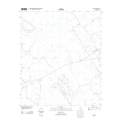
2013 Map of Bono
USGS Topo · Published 2013About this map
Cleburne State Park anchors the southern portion of this landscape, where the Cleburne State Park Lake is fed by the W Fork Camp Cr. The terrain is defined by a dense network of seasonal drainages and creeks, including Georges Cr and Wilson Cr, which flow toward the Brazos River in the northwest. This area of Johnson County maintains a rural character with scattered homesteads connected by a grid of county roads and farm-to-market routes like FM-1434.
Find a feature on this map
52 named features on this map. Tap any name to fly to it.
Don’t see what you’re looking for? This feature index may not catch every label — zoom into the map to look around manually.
Map Details
Editions of this 2013 Bono Map
This is the sole edition of this map. No revisions or reprints were ever made.
Other maps of this area

1889 · Granbury
USGS Topo · 1:125,000

1891 · Cleburne
USGS Topo · 1:125,000

1894 · Cleburne
USGS Topo · 1:125,000

1923 · Granbury 1-b
USGS Topo · 1:48,000

1924 · Cleburne 3-B
USGS Topo · 1:48,000

1924 · Granbury 1-c
USGS Topo · 1:48,000

1924 · Granbury 4-a
USGS Topo · 1:48,000

1927 · Blum
USGS Topo · 1:62,500

1928 · Godley
USGS Topo · 1:62,500

1931 · Morgan
USGS Topo · 1:62,500