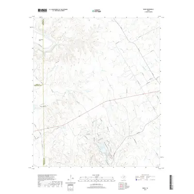
2019 Map of Bono
USGS Topo · Published 2019About this map
The Brazos River carves a dramatic path through the northwestern corner of this landscape at De Cordova Bend, where the terrain begins its transition into the winding creek valleys of north-central Texas. Central to the area is Cleburne State Park, which encompasses Cleburne State Park Lake and a network of recreational paths including the Fossil Ridge Trail, Coyote Run Nature Trail, and Limestone Ridge Trail.
Find a feature on this map
61 named features on this map. Tap any name to fly to it.
Don’t see what you’re looking for? This feature index may not catch every label — zoom into the map to look around manually.
Map Details
Editions of this 2019 Bono Map
This is the sole edition of this map. No revisions or reprints were ever made.
Other maps of this area

1889 · Granbury
USGS Topo · 1:125,000

1891 · Cleburne
USGS Topo · 1:125,000

1894 · Cleburne
USGS Topo · 1:125,000

1923 · Granbury 1-b
USGS Topo · 1:48,000

1924 · Cleburne 3-B
USGS Topo · 1:48,000

1924 · Granbury 1-c
USGS Topo · 1:48,000

1924 · Granbury 4-a
USGS Topo · 1:48,000

1927 · Blum
USGS Topo · 1:62,500

1928 · Godley
USGS Topo · 1:62,500

1931 · Morgan
USGS Topo · 1:62,500