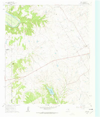
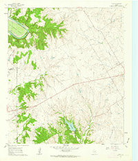
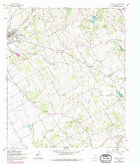
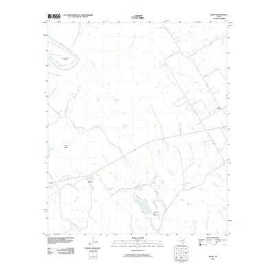
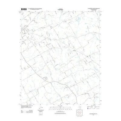
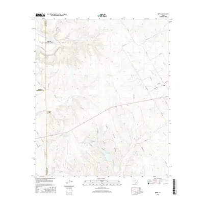
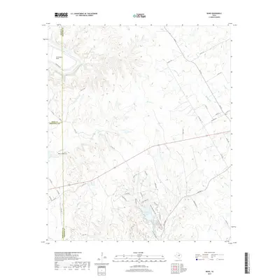
1961 Map of Bono
USGS Topo · Published 1963About this map
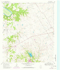
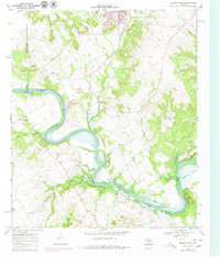
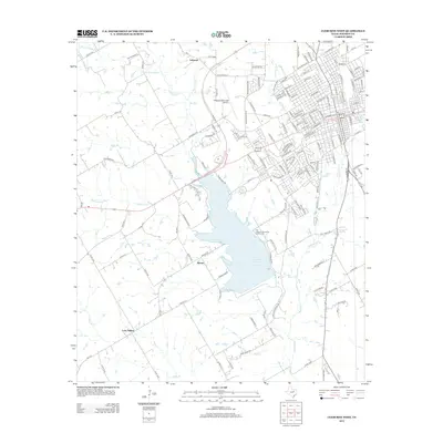
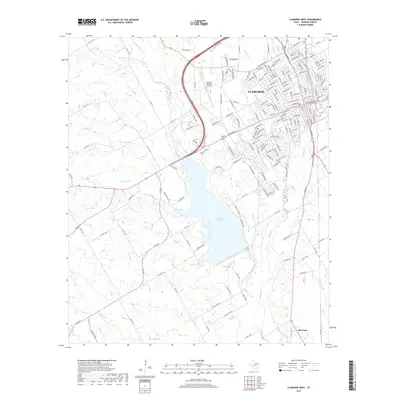
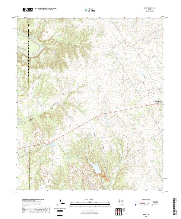
The Brazos River carves a dramatic oxbow at the De Cordova Bend in the upper corner of this 1961 survey, defining the rugged border between Johnson, Hood, and Somervell counties. This landscape is characterized by its complex drainage network, where numerous waterways like Cedar Creek, Georges Creek, and Ham Creek cut through the limestone terrain. The southern portion of the sheet is anchored by Cleburne State Park, which centers on a reservoir formed by the damming of Camp Creek.
Find a feature on this map
24 named features on this map. Tap any name to fly to it.
Don’t see what you’re looking for? This feature index may not catch every label — zoom into the map to look around manually.
Map Details
Editions of this 1961 Bono Map
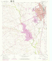
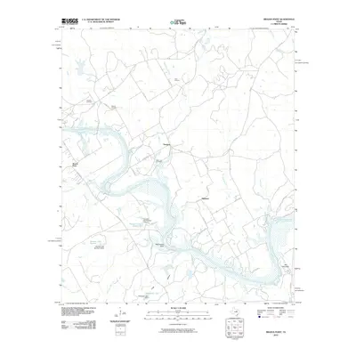
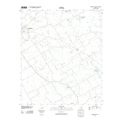
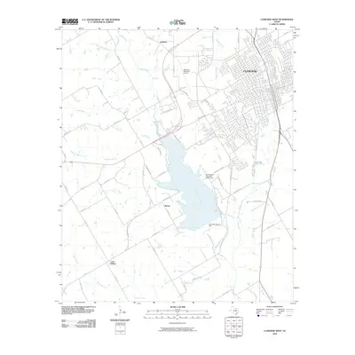
Historical Maps of Cleburne Through Time
26 maps found
1924 Cleburne 3-B
Johnson County, TX
1924 Granbury 4-a
Johnson County, TX
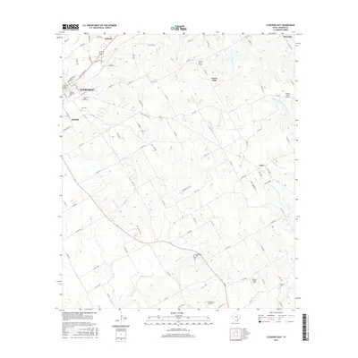
1960 Cleburne East
Johnson County, TX
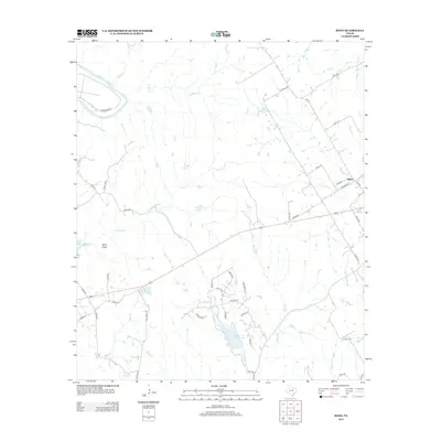
1961 Bono
Johnson County, TX
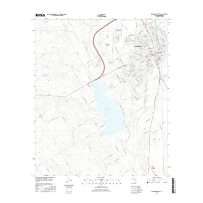
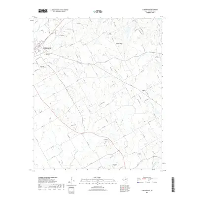
1961 Cleburne West
Johnson County, TX
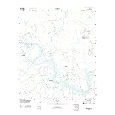
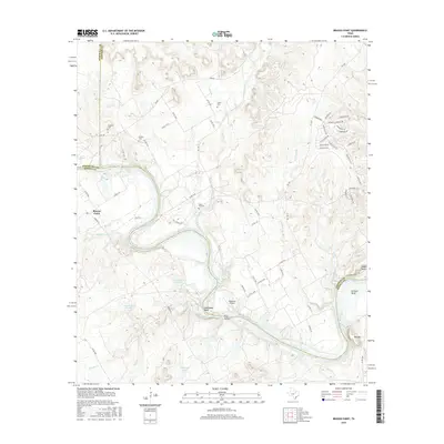
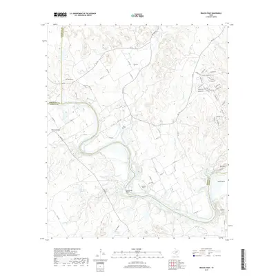
1968 Brazos Point
Johnson County, TX
2010 Bono
Johnson County, TX
2010 Brazos Point
Johnson County, TX
2010 Cleburne East
Johnson County, TX
2010 Cleburne West
Johnson County, TX
2012 Cleburne East
Johnson County, TX
2012 Cleburne West
Johnson County, TX
2013 Bono
Johnson County, TX
2013 Brazos Point
Johnson County, TX
2016 Bono
Johnson County, TX
2016 Brazos Point
Johnson County, TX
2016 Cleburne East
Johnson County, TX
2016 Cleburne West
Johnson County, TX
2019 Bono
Johnson County, TX
2019 Brazos Point
Johnson County, TX
2019 Cleburne East
Johnson County, TX
2019 Cleburne West
Johnson County, TX
2022 Bono
Johnson County, TX
2022 Brazos Point
Johnson County, TX
2022 Cleburne East
Johnson County, TX
2022 Cleburne West
Johnson County, TX