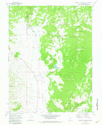
1968 Map of Boobe Hole Reservoir
USGS Topo · Published 1981About this map
Boobe Hole Mountain and the high plateaus of central Utah define this 1968 landscape, characterized by the rugged cattle-range infrastructure of the Fishlake National Forest. The map centers on the Boobe Hole Reservoir and the extensive Plateau Valley, where water sources like Salina City Spring and Sweet Water Spring were critical for seasonal livestock operations. These vital springs are connected by an intricate network of jeep and pack trails, tracing the movements of ranchers through Rose Meadows and across the high-altitude Brome Bench. In the western portion, the Salt Lake Meridian provides a precise surveying boundary near Mormon Mtn, while signs of local resource extraction appear at the Gravel Pit and Borrow Pit. This survey captures the region just after the mid-century, documenting a landscape where public forest management and traditional grazing routes intersect.
Find a feature on this map
34 named features on this map. Tap any name to fly to it.
Don’t see what you’re looking for? This feature index may not catch every label — zoom into the map to look around manually.
Map Details
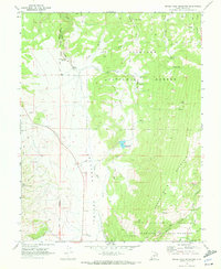
Editions of this 1968 Boobe Hole Reservoir Map
2 editions found
Other maps of this area

1885 · Fish Lake
USGS Topo · 1:250,000

1896 · Fish Lake
USGS Topo · 1:250,000

1956 · Salina
USGS Topo · 1:250,000

1960 · Salina
USGS Topo · 1:250,000

1962 · Salina
USGS Topo · 1:250,000
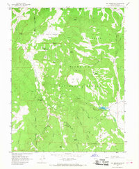
1966 · Rex Reservoir
USGS Topo · 1:24,000
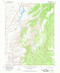
1966 · Sigurd
USGS Topo · 1:24,000
1966 · Gooseberry Creek
USGS Topo · 1:24,000

1968 · Fish Lake
USGS Topo · 1:24,000
1968 · Water Creek Canyon
USGS Topo · 1:24,000