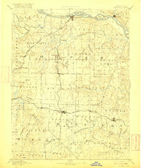
1888 Map of Boonville
USGS Topo · Published 1916About this map
Boonville sits at the northern height of this late 19th-century survey, positioned where the Missouri Kansas and Texas R. R. meets the Missouri River. The landscape is defined by the convergence of major waterways, including the Lamine River and Blackwater River, which carve through the townships of Blackwater and Pilot Grove. These river valleys dictated the placement of early settlements and the subsequent path of the iron rails.
Find a feature on this map
89 named features on this map. Tap any name to fly to it.
Don’t see what you’re looking for? This feature index may not catch every label — zoom into the map to look around manually.
Map Details
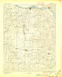
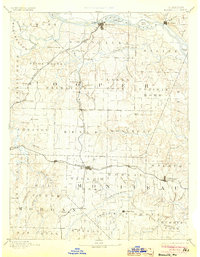
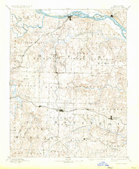
Editions of this 1888 Boonville Map
5 editions found
Other maps of this area

1886 · Jefferson City
USGS Topo · 1:125,000

1887 · Sedalia
USGS Topo · 1:125,000

1887 · Warsaw
USGS Topo · 1:125,000

1888 · Versailles
USGS Topo · 1:125,000

1888 · Tuscumbia
USGS Topo · 1:125,000

1888 · Boonville
USGS Topo · 1:125,000

1890 · Moberly
USGS Topo · 1:125,000

1890 · Glasgow
USGS Topo · 1:125,000

1890 · Marshall
USGS Topo · 1:125,000

1892 · Marshall
USGS Topo · 1:125,000