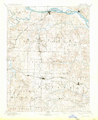
1888 Map of Boonville
USGS Topo · Published 1933About this map
The Missouri River forms the northern boundary of this central Missouri landscape, where the bustling river port of Boonville sits at a strategic crossing point. Surveyed in the 1880s, the map reveals a region transitioning from river-based commerce to a rail-centered economy. The M. K. and T. R. R. arcs through the northwest, while the Missouri Pacific Railroad cuts a straight east-west line through the southern half, anchoring towns like Tipton, California, and Clarksburg.
Find a feature on this map
67 named features on this map. Tap any name to fly to it.
Don’t see what you’re looking for? This feature index may not catch every label — zoom into the map to look around manually.
Map Details
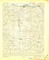
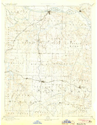
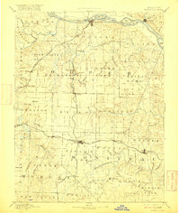
Editions of this 1888 Boonville Map
5 editions found
Other maps of this area

1886 · Jefferson City
USGS Topo · 1:125,000

1887 · Sedalia
USGS Topo · 1:125,000

1887 · Warsaw
USGS Topo · 1:125,000

1888 · Versailles
USGS Topo · 1:125,000

1888 · Tuscumbia
USGS Topo · 1:125,000

1888 · Boonville
USGS Topo · 1:125,000

1890 · Moberly
USGS Topo · 1:125,000

1890 · Glasgow
USGS Topo · 1:125,000

1890 · Marshall
USGS Topo · 1:125,000

1892 · Marshall
USGS Topo · 1:125,000