
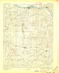
1888 Map of Boonville
USGS Topo · Published 1888About this map
Boonville sits as a primary river port on the south bank of the Missouri River, anchoring a region defined by the transition from waterway commerce to heavy rail transport in the late 1880s. The northern edge of the map features several river islands, including Franklins Island and Diana Island, while the southern interior is dominated by the Missouri Pacific Railroad as it strikes westward through Tipton and Syracuse. The network of townships like Palestine and Moreau reveals a landscape organized into productive agricultural districts, punctuated by rural commerce centers such as Latham Store and Bunceton. A dense drainage system, including the Lamine River and Moniteau Creek, illustrates the complex topography that early settlers navigated while establishing settlements like Rocheport and California. This 1886 survey provides a clear view of central Missouri during a period when local economies were shifting focus from the river towards the expanding railroad corridor.
Find a feature on this map
86 named features on this map. Tap any name to fly to it.
Don’t see what you’re looking for? This feature index may not catch every label — zoom into the map to look around manually.
Map Details
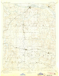
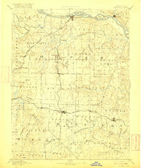
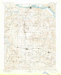
Editions of this 1888 Boonville Map
5 editions found
Other maps of this area

1886 · Jefferson City
USGS Topo · 1:125,000

1887 · Sedalia
USGS Topo · 1:125,000

1887 · Warsaw
USGS Topo · 1:125,000

1888 · Versailles
USGS Topo · 1:125,000

1888 · Tuscumbia
USGS Topo · 1:125,000

1890 · Moberly
USGS Topo · 1:125,000

1890 · Glasgow
USGS Topo · 1:125,000

1890 · Marshall
USGS Topo · 1:125,000

1892 · Marshall
USGS Topo · 1:125,000

1893 · Versailles
USGS Topo · 1:125,000