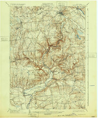
1904 Map of Boonville
USGS Topo · Published 1932About this map
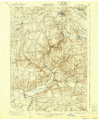
Boonville serves as the central hub of this topographic study, where the engineering of the Black River Canal and its associated Feeder system define the local infrastructure. The canal system, alongside the N. Y. C. and H. R. R. R. (Utica Line), illustrates the vital transportation corridors connecting the southern Adirondack foothills to the Mohawk Valley. Small agricultural and industrial hamlets like Westernville, Hawkinsville, and Frenchville are scattered across a landscape dominated by prominent heights such as Potato Hill and Buck Hill. Evidence of early community life is preserved through labels for the South Hill Church and numerous rural schools. The map captures the region before the completion of major 20th-century water projects, showing the original course of the Mohawk River near Delta and the intricate network of streams including Moose Creek and Wood Creek that shaped early settlement patterns.
Find a feature on this map
63 named features on this map. Tap any name to fly to it.
Don’t see what you’re looking for? This feature index may not catch every label — zoom into the map to look around manually.
Map Details
Editions of this 1904 Boonville Map
6 editions found
Other maps of this area

1895 · Oriskany
USGS Topo · 1:62,500

1895 · Oneida
USGS Topo · 1:62,500

1897 · Remsen
USGS Topo · 1:62,500

1898 · Oneida
USGS Topo · 1:62,500

1898 · Utica
USGS Topo · 1:62,500

1898 · Oriskany
USGS Topo · 1:62,500

1900 · Utica
USGS Topo · 1:62,500

1900 · Remsen
USGS Topo · 1:62,500

1902 · Oneida
USGS Topo · 1:62,500

1904 · Boonville
USGS Topo · 1:62,500