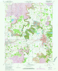
1961 Map of Boonville
USGS Topo · Published 1981About this map
Boonville serves as the hub of this Southwest Indiana landscape, characterized by an intensive pattern of resource extraction and water management. Numerous Strip Mine excavations dominate the terrain, particularly north and west of the city, serviced by the Alcoa Squaw Creek Mine Railroad and the Southern Railroad. The presence of established institutions like St Clements Sch, Clarke Sch, and the Courthouse reflect the town's role as a county seat. Outside the central grid, the map documents a network of family-named cemeteries such as Clutter Stone Cem and Ellis Cem, which offer significant value for genealogical research. Water control is evident through the engineering of the Carter Traylor Ditch and Kelly Ditch, which drain the lowlands into Cypress Creek, while Scales Lake County Park provides a managed recreational space amid the industrial activity.
Find a feature on this map
68 named features on this map. Tap any name to fly to it.
Don’t see what you’re looking for? This feature index may not catch every label — zoom into the map to look around manually.
Map Details
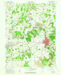
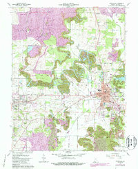
Editions of this 1961 Boonville Map
3 editions found
Other maps of this area

1900 · De Gonia Springs
USGS Topo · 1:62,500

1901 · Owensboro
USGS Topo · 1:62,500

1902 · Ditney
USGS Topo · 1:125,000

1902 · Degonia Springs
USGS Topo · 1:62,500

1902 · Boonville
USGS Topo · 1:62,500

1905 · Newburg
USGS Topo · 1:62,500

1951 · Yankeetown
USGS Topo · 1:24,000

1952 · Newburgh
USGS Topo · 1:24,000

1954 · Evansville
USGS Topo · 1:250,000
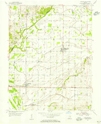
1954 · Richland
USGS Topo · 1:24,000